23 May 2026 · Skotniki · SkyEdge × AstroLife
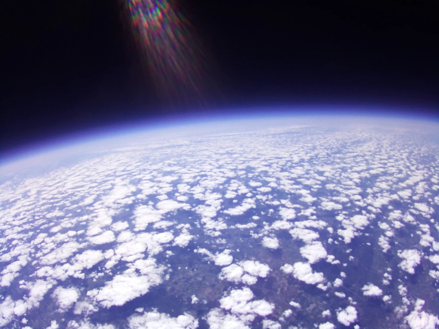
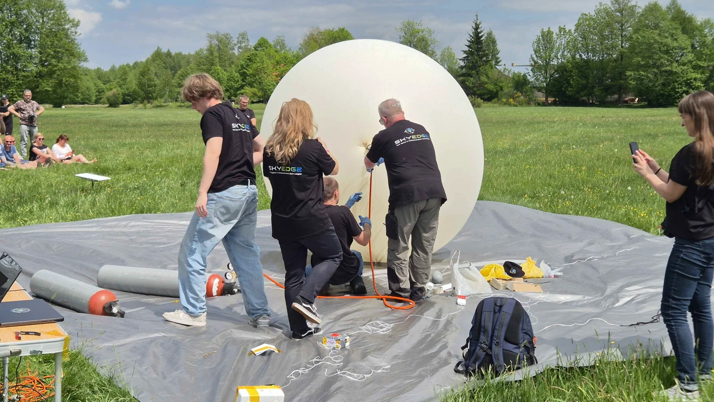
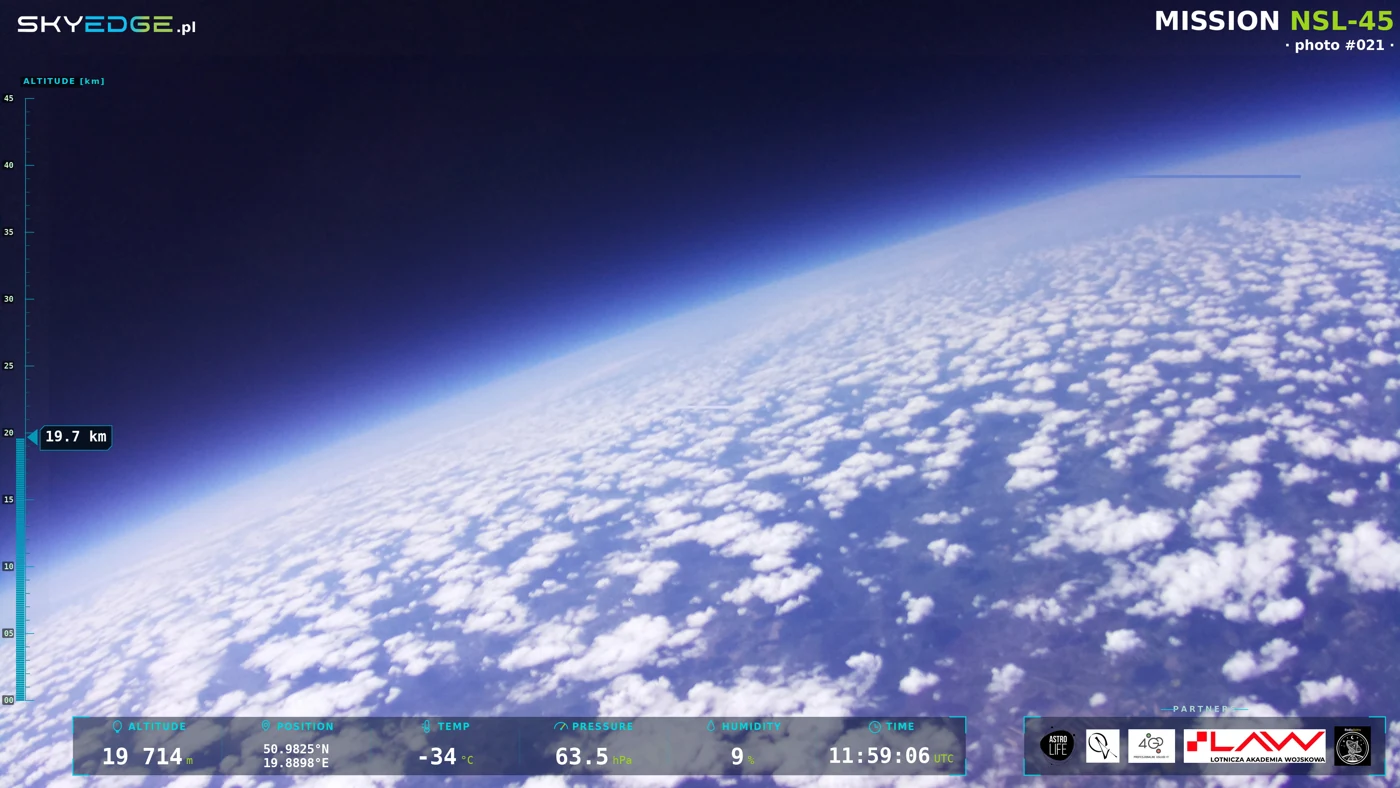
First, a balloon on a green field. Then, clouds far below the camera and a dark sky above the horizon. NSL-45 carried our cameras and radio systems to around 31 km - and brought the team back into the field to recover the payload.
- Achieved altitude
- ~31 km
- Image downlink
- Wenet
- Payload
- Recovered
The mission starts on the ground
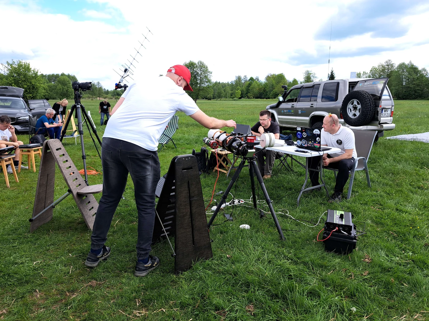
On 23 May, we joined AstroLife in Skotniki. The launch field became a working base: the balloon and payload were prepared beside a ground station, laptops and radio equipment. The photographs show the people and the hands-on work behind every view from the stratosphere.
This flight brought together cameras, a Wenet digital image downlink, a Mode S / ADS-B transponder and several tracking systems. The aim was to receive images and follow the payload as the view and radio conditions changed throughout the flight.
The NSL-45 launch
The view changes with every kilometre
The field, cars and people grow smaller. Higher up, clouds become a landscape of their own. In the onboard photographs, bright cloud tops meet a blue horizon and an increasingly dark sky. These are images from the flight, with the changing angle of the camera and sunlight left as recorded.
Wenet added another part of the experience: digital still images could reach the ground during the mission. The archive includes the received pictures with flight information, as well as material recorded on board.
The final chapter: back in the field
The story continues after the high-altitude photographs. Tracking data helped follow the descending payload, and the team recovered it after landing. The short field recording below shows the equipment and parachute among vegetation - the ground-level conclusion to a flight above the clouds.
Flight data and onboard systems
- Date / launch site
- 23 May 2026 · Skotniki
- Altitude records
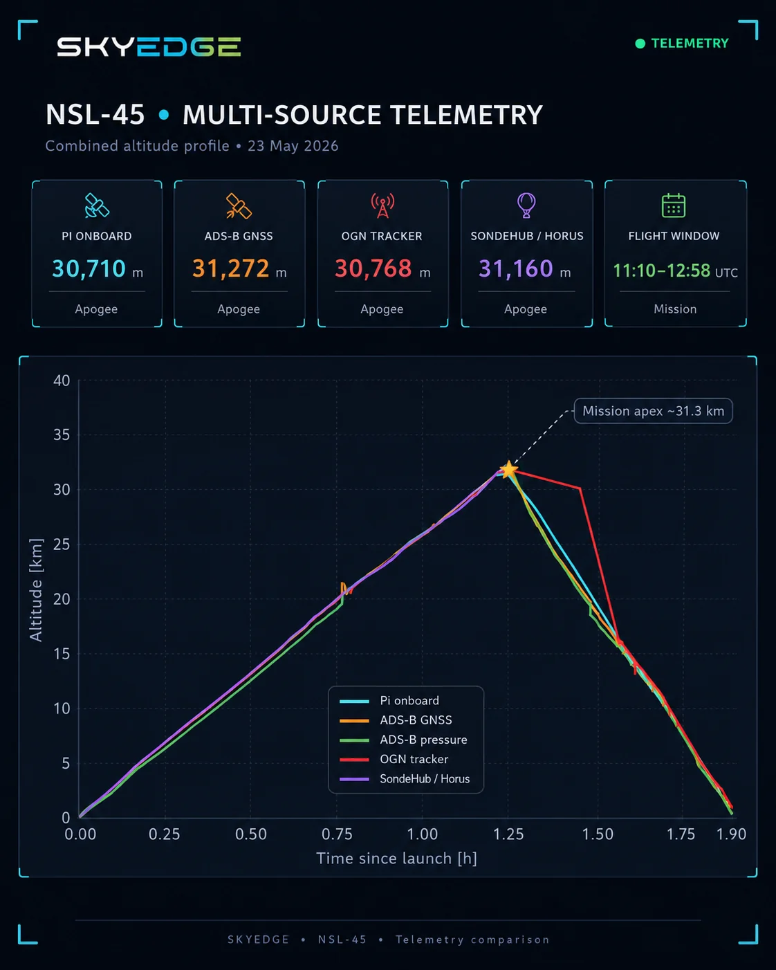
- Pi onboard: 30,710 m · ADS-B GNSS: 31,272 m · OGN: 30,768 m · SondeHub/Horus: 31,160 m
- Communications
- Mode S / ADS-B · Wenet · OGN · Horus
- Images
- Digital still-image downlink, including 4K photographs
- Result
- Payload recovered after landing
The source systems report different peak altitudes, so the story uses approximately 31 km. The announced 42-45 km was the target; NSL-45 is the mission name. Wenet transmitted still images, a different capability from a continuous 4K video downlink.