13 June 2026 · Warsaw · SkyEdge × MASR
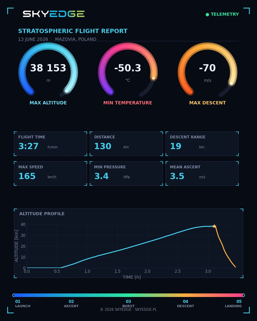
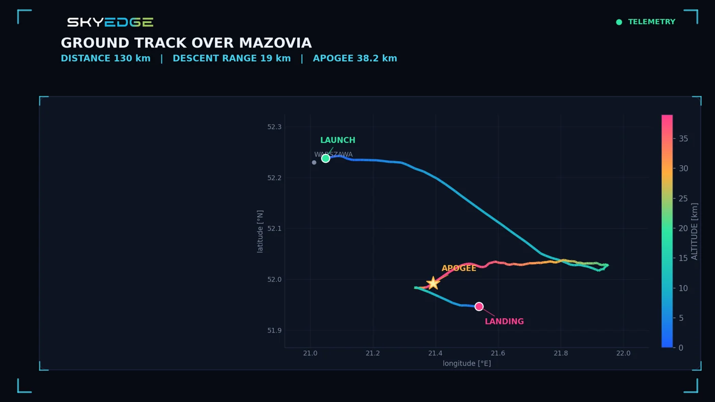
At first, PGE Narodowy and the streets of Warsaw fill the picture. Later, the camera looks across clouds towards a dark sky. At the Science Picnic, the mission we prepared with MASR reached 38,153 m and sent HD video back to ground receivers.
- Maximum altitude
- 38 153 m
- Flight duration
- 3 h 27 min
- Reported minimum
- −50,3°C
From the event field to the sky
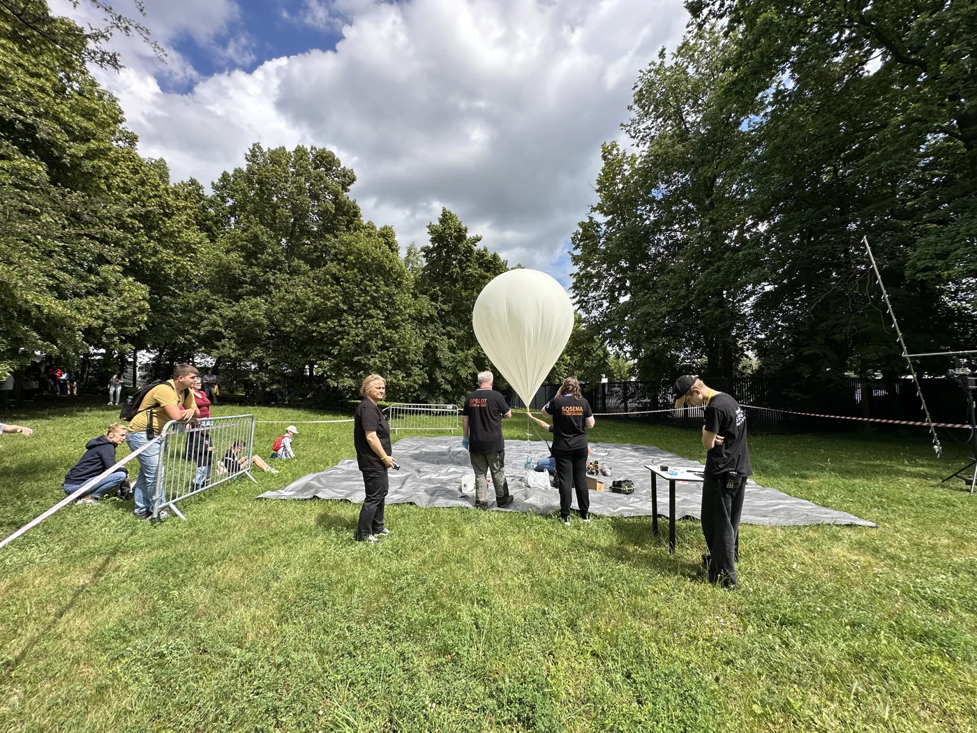
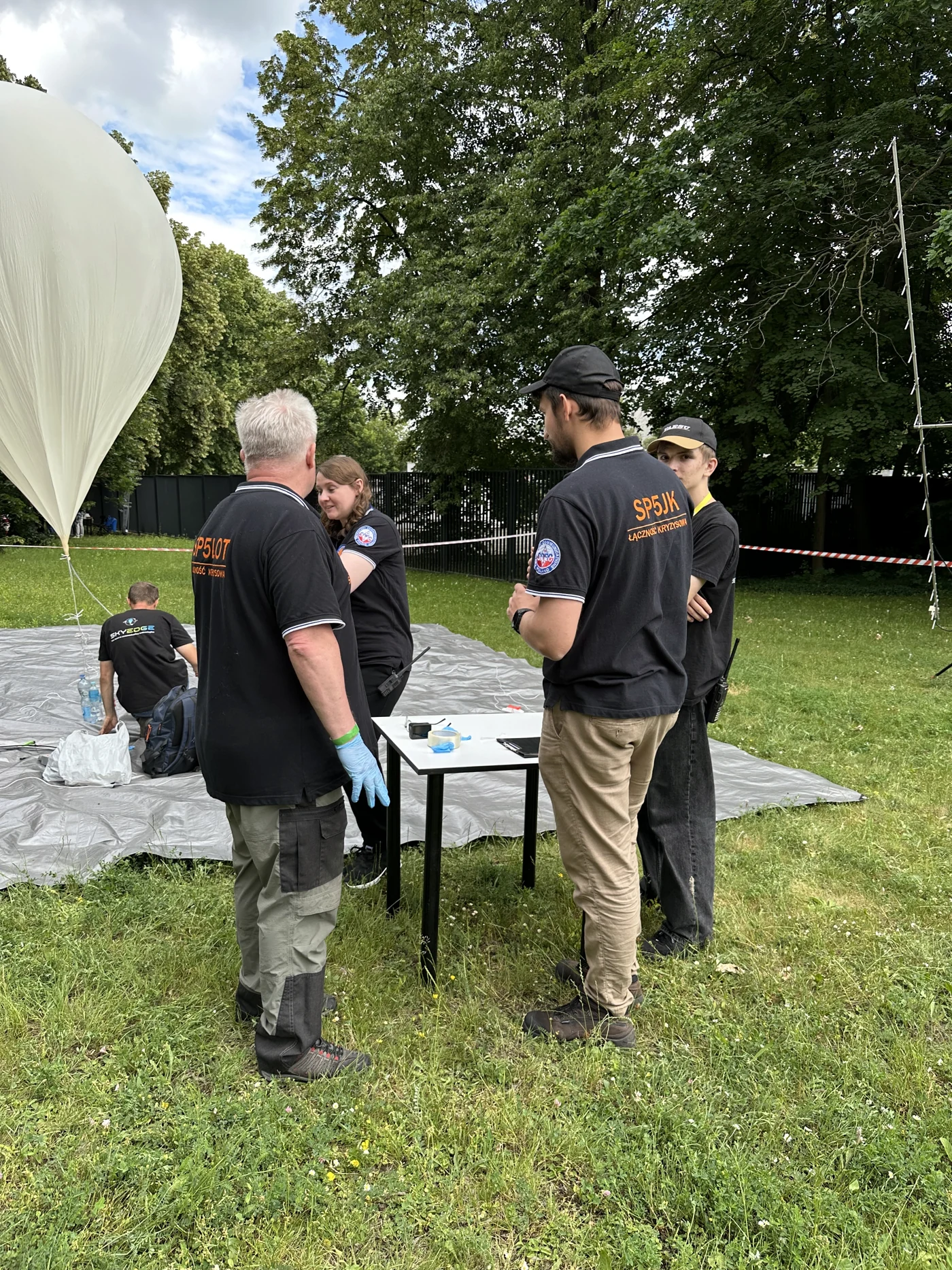
The launch was part of the Science Picnic on 13 June at PGE Narodowy. Together with MASR - Mazowiecka Amatorska Sieć Radiowa - we prepared a mission that connected a public event with a working radio and video system. The balloon, launch team and reception equipment were all part of the same operation.
Watch Warsaw recede below the camera
The first excerpt shows the ascent above Warsaw. The stadium is still easy to recognise, with the city stretching beyond it. This is a recording of the received picture; it lets you see what the ground reception delivered during that part of the flight.
Then the city gives way to the horizon
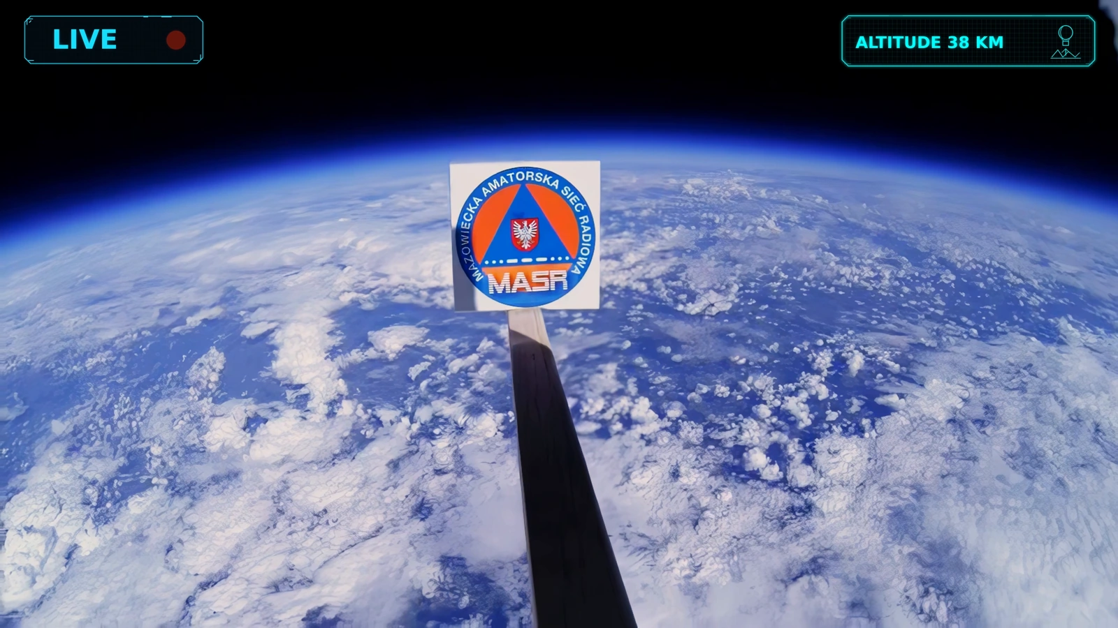
Higher up, the same camera and the same MASR emblem appear against a very different background. Cloud patterns stretch across the frame beneath the dark sky. The second excerpt comes from the high-altitude part of the reception archive, labelled 33-36 km.
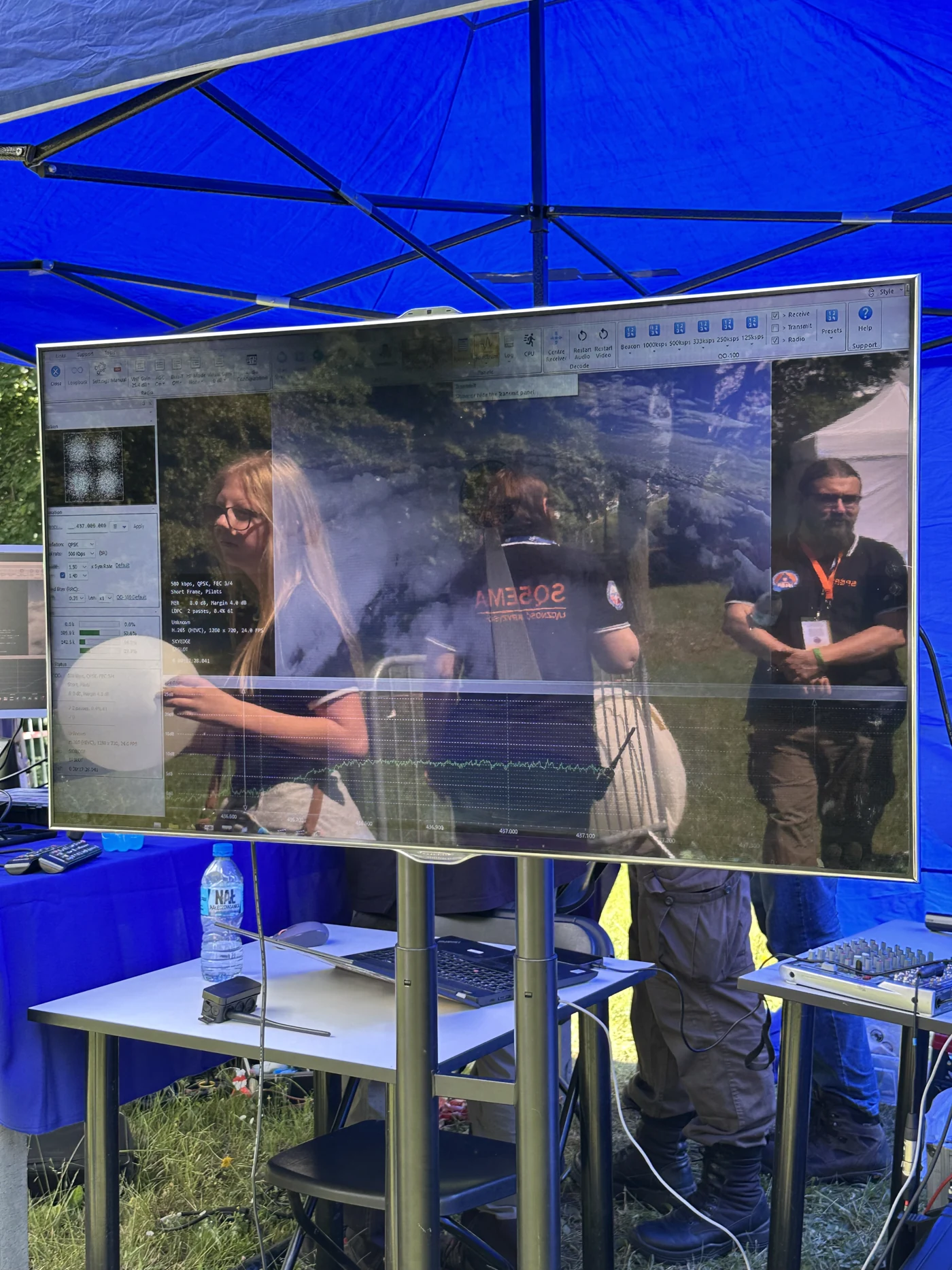
Our DVB-S2 transmitter carried HD video encoded in H.265. The photographs and recordings belong together: one shows the public event, another the onboard view, and the telemetry records the flight behind both.
Mission results and HD downlink configuration
- Maximum altitude
- 38 153 m
- Duration
- 3 h 27 min
- Minimum temperature in report
- −50,3°C
- Video
- HD · H.265 · DVB-S2
- Frequency
- 437 MHz
- Symbol rate
- 500 ksym/s
- FEC code rate
- 3/4
These are the documented results and configuration of this mission. Camera setups, transmission and the target flight profile are selected for each new project.